
Cookeville Neighbors by Block Source
The public record can describe parcels around a Cookeville address, but each source speaks to a different fact. The county map places address points, roads, parcels, and public-safety layers in spatial context. TPAD provides an individual tax-card view for an owner name, mailing address, property location, lot, subdivision, value, and sale references. A deed or plat supplies legal-boundary context. None of those sources identifies all household members or turns a block into a resident roster.
| Source | What it shows about a block | Access |
|---|---|---|
| Putnam Emergency Services Public Map | Address points, road continuity, adjacent parcel geometry, and public-safety map layers | Free public map; browse and click parcels or address points. |
| TPAD parcel card | Tax-record owner, mailing and situs addresses, lot, subdivision, value, and sale history | Free search for each parcel; owner is not proof of occupancy. |
| Putnam Register of Deeds | Recorded transfers, plats, legal descriptions, restrictions, and shared-boundary references | Office research or paid online route; land records reach back to 1854. |
| Tennessee Voter Lookup | A particular named registration match, subject to state limits | County, name, birth month, and birth year query; no public block roster verified. |
| Cookeville zoning and permits | Zoning context and address-specific construction or alteration evidence | Zoning service; Codes office or TPRA for permits. |
| Library, museum, and newspapers | Historical notices, photographs, civic events, obituaries, and place context | Ask a custodian or archive; no complete block directory was found. |
For an immediate block, use the map and tax cards one parcel at a time. That approach places Cookeville neighbors in a dated property context rather than guessing at a household list. For the past history of a full named road, the Cookeville street directory follows the longer address chain. Keeping those tasks separate prevents a map view from being mistaken for proof about present occupants.
Cookeville Neighbor Map Lookup
The Putnam Emergency Services Public Map is the starting point for a Cookeville block. Its address search uses FULLADDR and its road search uses FULLNAME. Search the address or road, zoom to the target segment, then use the layer list and map clicks to see adjoining parcels and address points. Overview, bookmark, home, location, coordinate, draw, scale, and print tools make the location easier to reproduce later. Its attribute table allows 25, 50, 100, or 1,000 rows and export.
The map includes layers for public-safety context such as schools, judicial districts, flood information, EMS, fire, and registry layers. These are geography or agency layers, not evidence of who lives in a home. The configuration did not expose a verified radius-select tool. Draw can measure distance or area, but Cookeville neighbors research remains a browse-and-click method. Save the map date, the search phrase, and the parcel identifiers selected.
Map check. A road crossing, creek, railroad, city boundary, or subdivision entrance can separate parcels that look close on screen. Verify the legal parcel before treating it as part of the same block.
Mapping Cookeville Neighbors and Parcels
The adjacent-parcel method moves outward from one verified address. It does not claim that every owner lives on the parcel or that a nearby name belongs to every person in the household. Use the map geometry to identify candidate parcels, then open a separate TPAD card for each parcel. The card's January 1 owner, map number, subdivision, lot, mailing address, property location, and sale history supply a dated tax-record relationship. A legal description or plat is the next check where a boundary matters.
- Search the target address or road in the public map and save the parcel or address-point identifier.
- Click immediately adjoining parcels and note each separate parcel ID, lot, road, and visible interruption such as public land or a creek.
- Search each identifier in TPAD, then label the result as a tax-record owner, mailing address, or situs address rather than a household list.
- For a shared boundary, subdivision, or easement question, request the relevant deed or plat from the Register of Deeds.
- Use a voter result only to check a named person through the state form. It does not provide a verified street-wide list.
The process is address to public map, then parcel identifier, then individual TPAD card, then deed or plat where needed. That chain distinguishes visual adjacency from the legal tract and preserves the date attached to each record.
Cookeville Neighbor Parcel Records
A Cookeville block changes at different speeds in different records. TPAD identifies a January 1 owner for the tax year. A deed receives its date when an instrument is recorded. A permit belongs to an application or inspection stage. A directory, newspaper, or census entry belongs to its own edition or enumeration date. Put the source and date beside every name. This avoids combining a tax-card owner, a past directory occupant, and a current voter match into one unsupported profile.
TPAD's inspected example reinforces the distinction. It showed a different mailing and property location, trust names, sale rows reaching to 1947, and several zero-dollar quitclaim entries. A zero-dollar quitclaim is not automatically a sale. It may be a trust, estate, correction, or other transfer that must be read in the recorded instrument. The tax-card sale table is a useful lead list, but the Register of Deeds record explains the legal event.
- Situs address
- The physical property location used by the assessor and map systems.
- Mailing address
- The address used for tax correspondence. It does not establish where an owner lives.
- Plat
- A recorded map that can show lots, boundaries, streets, and subdivision references.
- Legal description
- The deed or plat description that identifies the property interest beyond a street address.
Cookeville Civic Directory Context
No verified public Cookeville HOA, neighborhood-association, block-watch, congregation, or private member roster was located in the research. That absence matters. Do not infer a private group, its contact, or its members from a street address. Public civic sources can still identify organizations, projects, hearings, and locations that provide context for Cookeville neighbors without identifying private households.
| Public community route | What the route can provide | Limit |
|---|---|---|
| Cookeville-Putnam Chamber directory | Keyword, category, or business-name searching for public-facing organizations and businesses | Membership or an address listing is not proof of personal residence. |
| City agendas and minutes | Public hearings, planning items, and civic discussion tied to a location or neighborhood name | Read the specific record; it is not a neighborhood roster. |
| Putnam County Library | Reference assistance, local-history databases, newspapers, and archival leads | Ask for a particular collection or date range. |
The Chamber's public directory is the civic search shown here. Its Keyword, Category, and Business Name fields are useful for finding public-facing community context around an address.
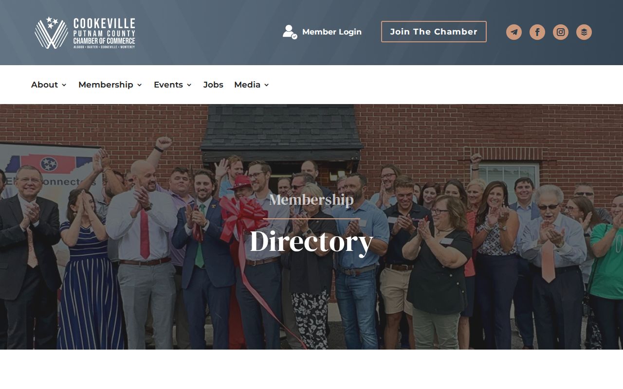
Use that result as an organization lead only, then contact the organization through its published channel if a lawful question remains.
Cookeville Neighbor History Records
A parcel map does not replace the local record trail. A Cookeville neighbors search can use historic material to explain a block at an earlier date. Cookeville has a rich historic layer spread across the Tennessee Tech collections, Putnam County Library, Putnam County Archives, the History Museum, and newspaper holdings. The Harding Studios collection holds roughly 500,000 images from about 1911 through 1974. Newspaper holdings include the Cookeville Press from 1889 to 1914, Putnam County Herald from 1911 to 1921, later 1927 to 1928 material, Citizen or Cookeville Citizen material from 1954 to 1969, and Herald-Citizen microform from 1969 onward.
The Cookeville Archive Center advanced search provides keyword, archive/category, time-period, and date-range fields for city material. A street, subdivision, or project name can surface public notices and neighborhood context that a parcel card cannot explain.
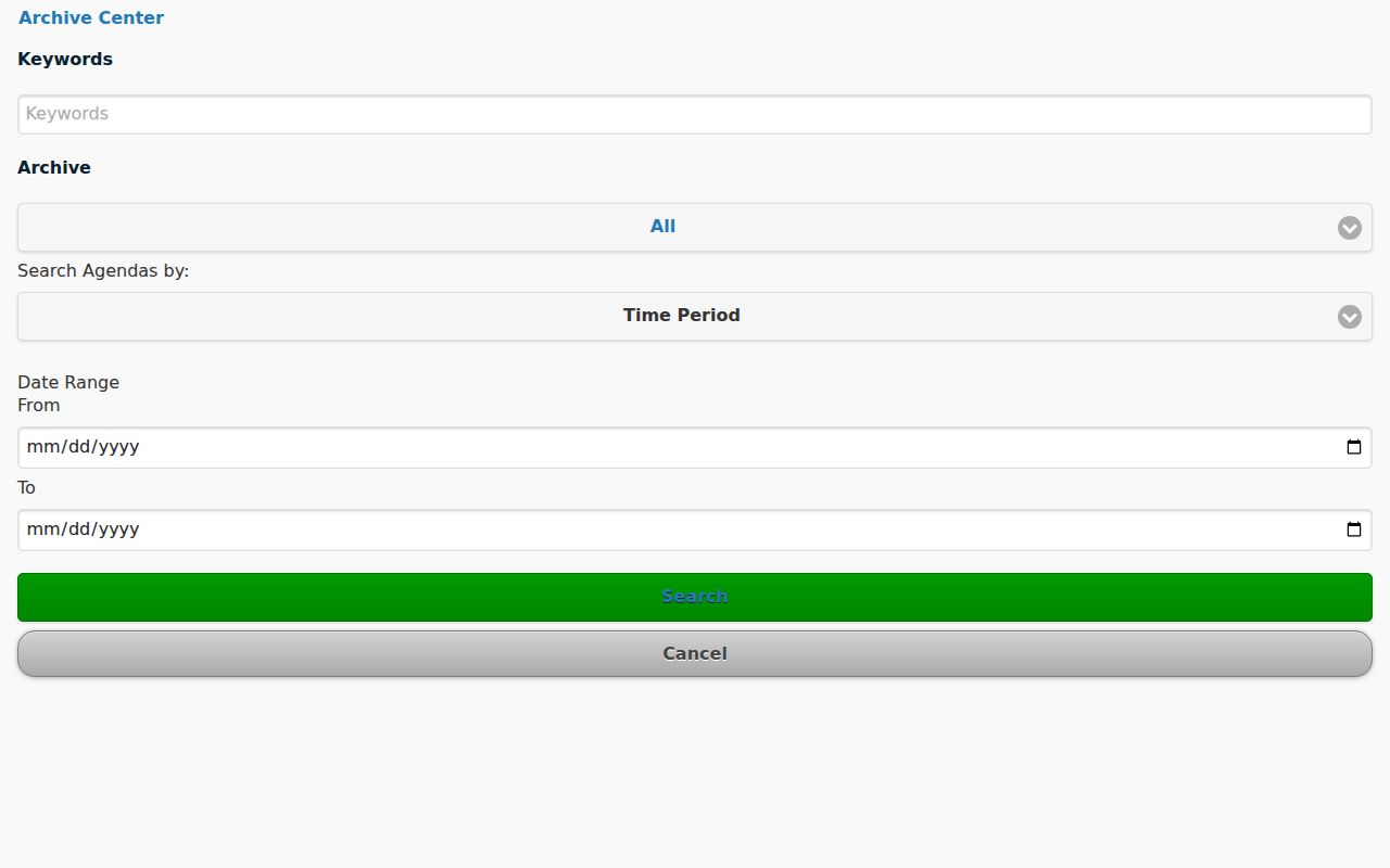
Archive material can explain a place or date, but a photograph caption or notice still needs corroboration before it is connected to a particular parcel or household.
Note: Historical mentions are snapshots from their own dates, so retain the publication or record date beside any name or address found.
Cookeville Neighbor Voter Checks
Tennessee's public voter form is a person query, not an address search. It requires county, first name, last name, birth month, and birth year. The state help says that its data comes from county election commissions and directs a failed match to the local commission. The research did not verify a public result screen with a block roster, full birth date, or party-registration field. Putnam voters do not have permanent party registration; a party is declared at a primary.
A voter file is a separate request path from the public form and is subject to Tennessee election-law exclusions. Use a date-stamped name match only when other records have already established the person being checked. A map, mailing address, or tax-card owner does not authorize an attempt to turn voter data into a list of nearby residents.
| Official record route | Commercial neighbor-tool category |
|---|---|
| GIS geometry, individual parcel cards, deeds or plats, a lawful election-record request, and archive context retain their source and date. | Compiled nearby-name products can merge public and purchased data, may be stale or overinclusive, and do not replace the Cookeville custodian. |
| Each record has a defined question and access limit. | An inferred relationship or address match is not an official confirmation. |
Cookeville Neighbors Need Geographic Context
Postal, municipal, tax, and emergency-service geography do not always match. A Cookeville mailing city can be outside the incorporated city, and the county 911 system also assigns addresses for Algood, Baxter, and Monterey. Cookeville Planning and Codes assigns addresses inside city limits. The 911 center uses the map as a current addressing layer, while a deed or plat supplies legal property identity. A road name or ZIP label should not replace the parcel identifier when deciding which lots are truly adjacent.
Putnam County's assessor works at a scale of about 40,000 parcels, and the 911 center reports more than 100,000 emergency and non-emergency calls each year. Those figures help explain why a published map is a navigational and public-safety tool, not a guaranteed household database. Preserve the address source used, particularly when a road crosses a city boundary, a subdivision entrance, or an unincorporated area with a Cookeville mailing label.
Cookeville Neighbors Privacy Boundary
Owners, occupants, voters, and household members are not interchangeable categories. A renter, guest, utility customer, delivery recipient, or private association member is not presumed public from a nearby parcel. Tennessee Safe at Home gives eligible participants a substitute government address and has important protections for address and identifying information. Do not try to use a property-tax or deed record to defeat a protected address. Motor-vehicle address data is restricted, and sealed, juvenile, adoption, expunged, and specified protected information remain outside ordinary public lookup.
Lawful use. Cookeville neighbors research is for personal, lawful community and property context. Do not use a map, parcel, voter, archive, or deed record to stalk, harass, threaten, repeatedly contact, or intimidate anyone.
T.C.A. §39-17-315 addresses stalking and aggravated stalking, and T.C.A. §39-17-308 addresses harassment. If a public record appears wrong, contact the office that created it rather than publishing or repeating an unverified claim. A dated source label is the starting point for a correction.